GNSS and GPS modules for advanced location tracking
Develop low-power, high-performance IoT products with the industry’s smallest, fully-integrated and highly-sensitive GPS/GNSS modules.
These Global Positioning System (GPS) and Global Navigation Satellite System (GNSS) modules are designed to support ultra-compact applications with features such as low-latency velocity, position outputs and position updates to maximise their performance for even the harshest signal environments.
We have a range of Industry-leading multi-GNSS & GPS solutions also with a broad range of GNSS SOC chipsets that offer accuracy, fast time to fix and power efficiency that’s needed in IoT applications and solutions with high tracking sensitivity for enhanced performance in dense urban environments.
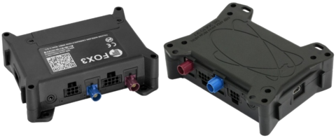
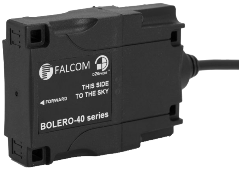
Our module range is easy to integrate from both hardware and software perspectives. It includes the smallest, fully integrated solutions on the market for both navigation and timing, suitable for a wide range of applications from location tracking, wearables, UAV’s to smart cities.


FAQs about our GNSS Modules and GPS Modules for industrial and IoT applications
GNSS and GPS FAQs
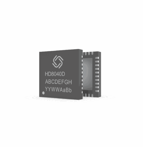
A GNSS module is a complete unit that includes an integrated GNSS chip, antenna connection, and additional components such as a RF amplifier and interfaces (UART, USB, I²C). A GNSS IC is simply the actual GNSS chip that needs to be integrated into a larger system.
Most GNSS modules support multiple satellite systems, such as GPS (USA), GLONASS (Russia), Galileo (EU), and BeiDou (China). Some modules can also receive and process QZSS (Japan) and IRNSS (India).
GNSS modules typically support UART (serial), USB, I²C, or SPI. Many provide position data in the NMEA-0183 format, which can be processed by most applications.
Active antennas contain an amplifier to enhance the received signal, while passive antennas do not. Active antennas are often better suited for environments with weak signals, while passive antennas may suffice in less signal-deprived areas. The choice depends on the specific application and environmental conditions.
Standard GNSS modules have an accuracy of approximately 1.5 – 3 meters. With RTK (Real-Time Kinematic) or PPP (Precise Point Positioning), accuracy can be improved to centimeters, although correction data is required for this level of precision.
RTK modules provide centimeter-level positioning in real-time, enhancing efficiency in fields such as surveying, agriculture, and robotics. They improve accuracy, reduce post-processing effort, and enable versatile applications.
-
Almanac: The almanac provides a general overview of the orbital data for all satellites in a GNSS system. This data is less precise but valid for up to 90 days. It helps the GNSS receiver quickly determine satellite positions and reduces the time to first fix by about 15 seconds. The almanac is transmitted by each satellite in a longer cycle and is identical for all satellites.
-
Ephemeris: Ephemeris data contains precise information about the current position and state of an individual satellite. This data is only valid for about 30 minutes and is necessary for accurate position calculations. Each satellite transmits its own ephemeris, which is essential for real-time calculation of satellite coordinates.
Dead Reckoning (DR) is a technique used by GNSS modules to calculate position even without satellite signals. It utilizes sensors like gyroscopes, accelerometers, and wheel speed sensors to gather motion data. DR is commonly employed in vehicles, fleet management, and autonomous systems to enable navigation in tunnels or urban areas with signal disruptions. However, it can lead to accumulation errors (drift), which is why GNSS DR modules regularly use satellite data for correction.